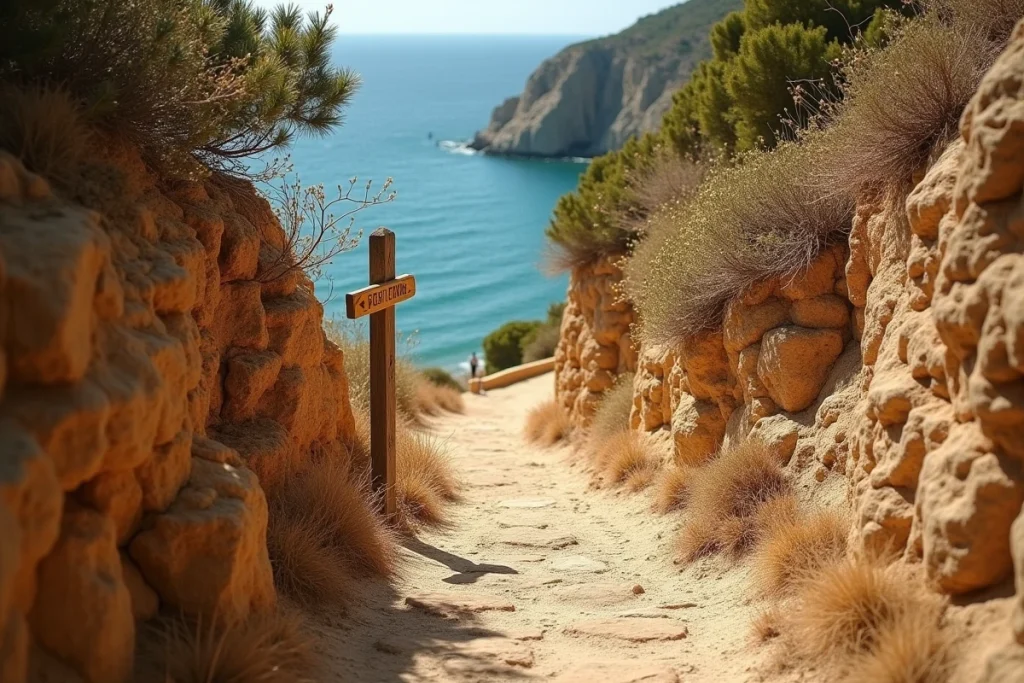
Reaching the beach of the 3 Pointes, south of Bonifacio, involves resolving a series of practical questions that the photos of turquoise waters never raise. Which starting point to choose, how much time to allow for the descent, which sections of the trail pose problems depending on the season? This article compares access options, details the sections of the route, and identifies the variables that truly change the experience on site.
Trail from the Pertusato lighthouse road: duration and difficulty by section
The majority of online content describes the trail as “limestone and without shade,” then moves on. The route deserves a closer look because the difficulty is not uniform from the start to the beach.
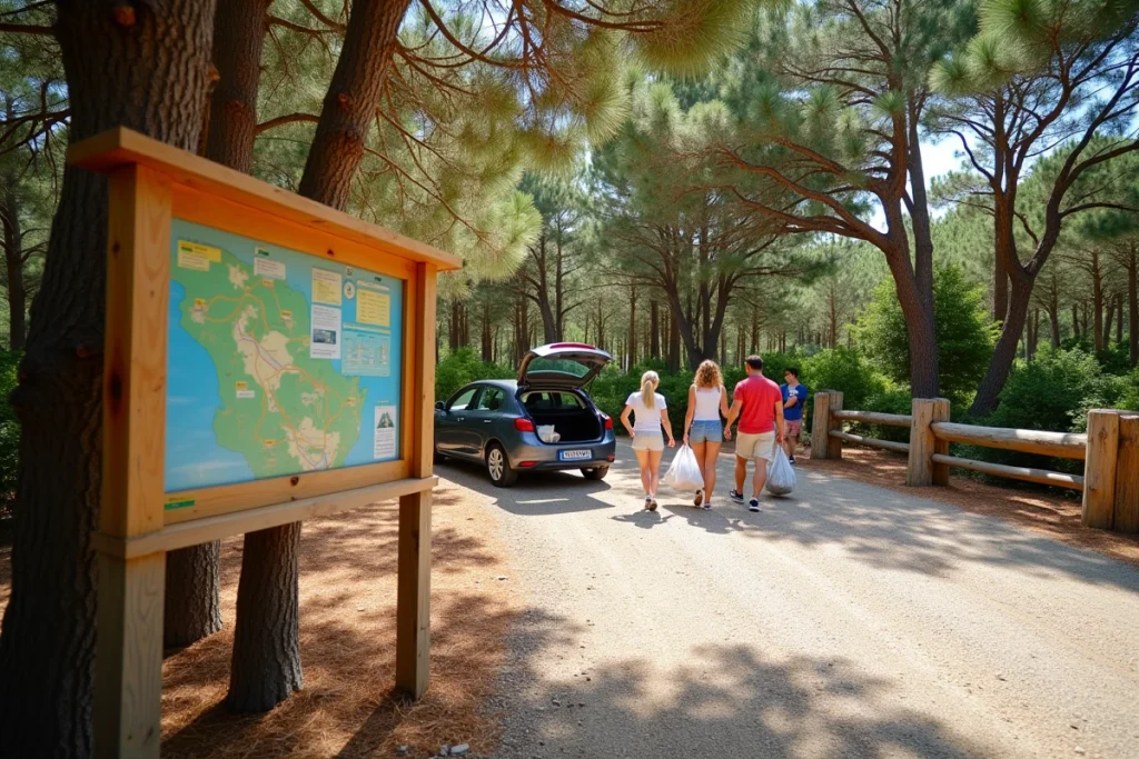
The starting point is located on the road leading to the Pertusato lighthouse, identifiable by an environmental sign indicating the “Tre Punti” area. From this marker, the descent takes about fifteen minutes through rocky terrain and low scrubland.
| Section | Terrain | Difficulty | Note |
|---|---|---|---|
| D58 road to Tre Punti sign | Asphalt then track | Low | Accessible by car |
| Tre Punti sign – mid-descent | Rocky path, scrub | Moderate | No shade, unstable ground in places |
| Mid-descent – beach | Rock blocks, narrow passages | High | Hands may be needed at times, difficult terrain |
The last section concentrates the real difficulty. You have to weave between limestone blocks, and some technical passages require using your hands. A visitor in flip-flops or with a young child will encounter a real obstacle on this portion.
For those looking for an easy access to the beach of the 3 Pointes, spotting the Tre Punti sign is the first reliable landmark on the ground.

Access to the beach of the 3 Pointes without a car: real options from Bonifacio
From the citadel or the port of Bonifacio, there is no bus or shuttle service to the trailhead. The starting point is located outside the city, on the D58, in an exclusively road area.
Three scenarios exist for visitors without a personal vehicle:
- Car rental remains the most direct solution. The trip from Bonifacio to the Tre Punti sign takes a few minutes via the D58 towards Piantarella.
- A taxi from the port of Bonifacio covers the distance quickly, but the return requires having phone service to call a vehicle (coverage on the trail is sporadic).
- Walking from Bonifacio via the coastal trail of Pertusato significantly lengthens the outing. The trail runs along the cliffs for several kilometers before reaching the 3 Pointes area, and the return is under the same sun.
On the other hand, boat trips from the port of Bonifacio (caves and cliffs) pass offshore from the beach without offering disembarkation. Direct maritime access to the 3 Pointes is limited to private vessels, such as kayaks or paddleboards, provided you can navigate the currents of the Bonifacio Strait.
Equipment and terrain constraints: what really changes the outing
The trail to the beach of the 3 Pointes is not marked in a conventional way. The Tre Punti environmental sign marks the start, but after that, there are no paint marks or cairns to guide the descent. A hiking GPS or a downloaded track on an app like Komoot reduces the risk of veering into a rocky dead end.
Shoes and sun protection on the trail
Closed shoes with non-slip soles are the minimum required for the limestone blocks of the last section. Hiking sandals hold up well on the first half, much less so on the final descent.
The trail is completely devoid of shade. In summer, the heat on the white limestone amplifies exposure. Bring enough water for the round trip, knowing that there are no supply points between the road and the beach.
Network and isolation on the wild beach
The beach of the 3 Pointes has no services: no trash cans, no lifeguard station, no beach hut. Network coverage is intermittent in the cove, complicating any emergency calls. Bringing a power bank and informing a third party of your itinerary is common sense for this type of isolated outing.
Best time and time slot for the beach of the 3 Pointes
The south-facing trail receives sunlight from the morning. In July and August, the temperature on the route makes the descent difficult between 11 AM and 4 PM. The most manageable times are early in the morning or late in the afternoon when the limestone has released some of the heat.
Outside of high season, the beach remains accessible. Spring (May-June) and early autumn (September) offer milder walking conditions and very low attendance. The sea remains warm enough in September for swimming in this part of southern Corsica.
The beach of the 3 Pointes naturally filters its visitors by its access. The Tre Punti sign on the road to the Pertusato lighthouse, a fifteen-minute descent on rocky terrain, suitable shoes, and water: these four elements separate a successful outing from a frustrating turnaround halfway.